
Where We Work
Lakes Region & the White Mountain corridor
Elevated Land Solutions serves twenty New Hampshire towns within roughly ninety minutes of its Plymouth base — the Winnipesaukee, Squam, and Newfound shorefronts, the Pemigewasset and Baker river valleys, and the eastern corridor to Conway. Meredith and Conway are our primary markets; drive times below are approximate, from Plymouth.
One base, one working radius
Every project mobilizes from Plymouth, and the radius is a deliberate operational constraint: close enough that mobilization stays efficient, far enough to cover the country where overgrown acreage, lake views, and buildable lots actually are.
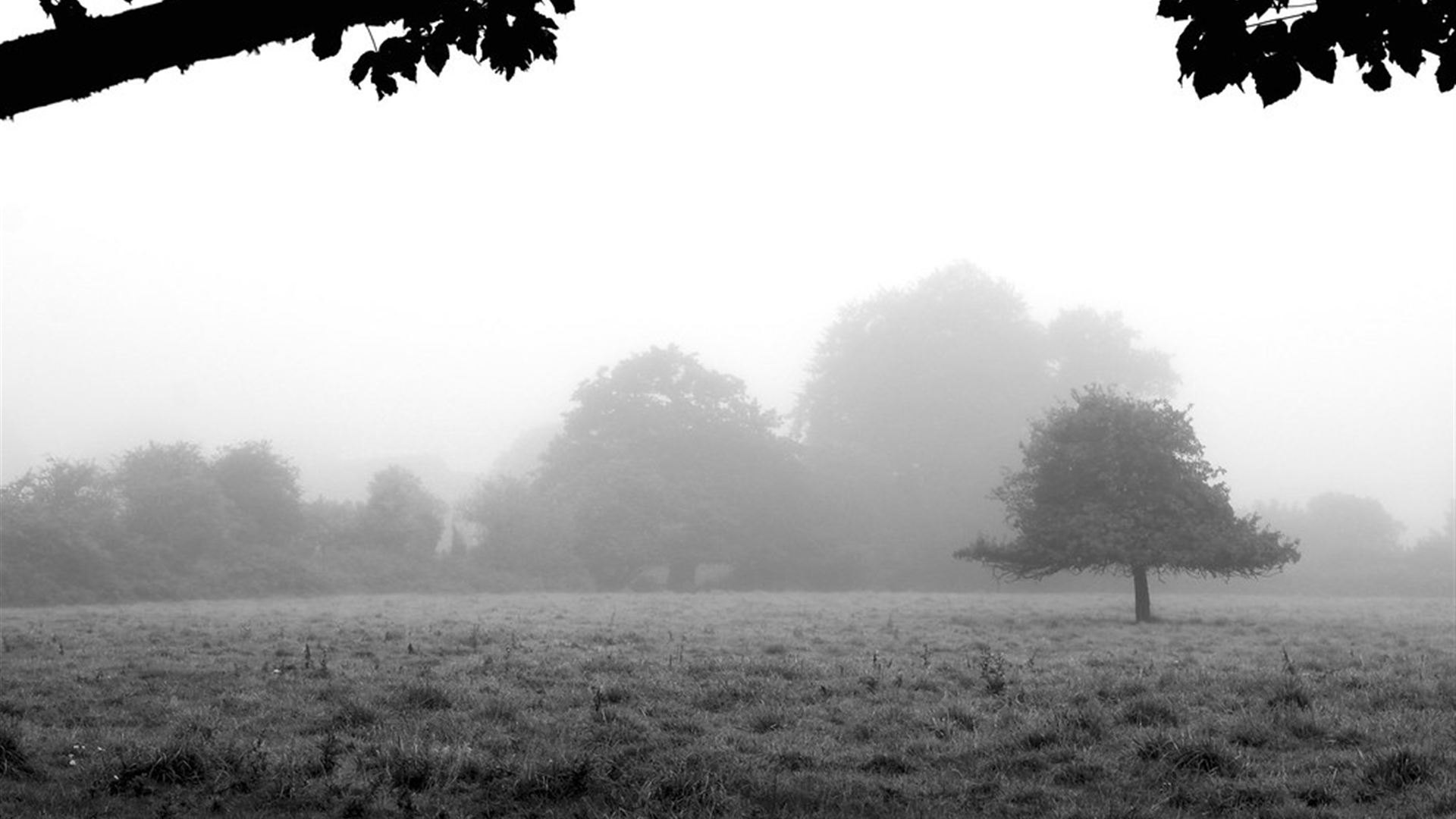
The terrain changes more than the drive time does. Winnipesaukee and Newfound parcels run to sandy loam and regulated shoreline; the river valleys mix old pasture with ledge; the towns toward the Whites pitch steeper, and slope gets assessed on foot before anything is quoted. The site walk prices what your ground actually is — not what the town average looks like.
Working near the water? Within 250 feet of protected lakes, New Hampshire's Shoreland Water Quality Protection Act governs vegetation work. We flag regulated zones at the site walk and scope around them honestly — see the note at the bottom of this page.
The Twenty Towns
Town by town
Pemigewasset & Baker valleys — home ground
Plymouth · base
Home base. River-terrace parcels, wooded hillsides, and the shortest mobilization in the service area.
Holderness · ~10 min
Squam shoreline and wooded uplands — much of it inside the 250-ft shoreland zone, where scoping carefully matters most.
Ashland · ~10 min
Compact village lots and Squam River frontage, with overgrown back acreage tucked behind older homesteads.
Campton · ~15 min
Gateway to the Whites — sloped parcels and mountain-view clearings where tracked equipment and careful slope scoping earn their keep.
Rumney · ~15 min
Baker valley farmland going back to brush, plus ledge-and-boulder ground that rewards a machine with a light footprint.
New Hampton · ~15 min
Rolling hill farms and pond frontage between the interstate and the lakes — classic reclaimed-field territory.
Bristol · ~20 min
Newfound Lake's south gateway — steep wooded lots where a cleared understory turns a camp into a view property.
Bridgewater · ~20 min
Newfound's eastern ridgeline — long-view parcels high over the lake, many untouched for decades.
Lakes Region
Meredith · ~25 min · primary
A primary market. Winnipesaukee bays, Waukewan and Winnisquam frontage, and second homes whose best feature — the view — is usually behind two decades of growth.
Center Harbor · ~30 min
The quiet corner between Squam and Winnipesaukee — small-town frontage parcels with big-lake sightlines.
Moultonborough · ~35 min
More Winnipesaukee shoreline than any other town, and large wooded parcels behind it — trail and view-corridor country.
Laconia · ~35 min
Winnisquam, Opechee, and Paugus frontage plus in-town lots where opening the back half of a parcel adds real living space.
Sandwich · ~35 min
Foothill farms and stone-wall woodlots under the Sandwich Range — heritage landscapes opened gently, not scraped.
Gilford · ~45 min
Belknap-foothill slopes over the big lake — mountain-side lots where cleared understory means usable, walkable grade.
Tuftonboro · ~50 min
Winnipesaukee's quiet northeast shore and the Ossipee-foothill woods behind it — long private drives, big back acreage.
Wolfeboro · ~60 min
The oldest summer resort in America, and some of its most overgrown back lots — estate parcels where opened woods restore the grounds the house was built for.
East to the Whites
Tamworth · ~45 min
Chocorua views and old farm country — field edges and sugarbush understory kept open before they close for good.
Ossipee · ~55 min
Sandy pine flats and pond country — fast-growing, brushy ground where mulching's regrowth suppression pays off most.
Conway · ~60 min · primary
A primary market. Saco-valley vacation properties and building lots where seasonal owners want land ready the week they arrive — not a month after a hauling crew leaves.
North Conway · ~65 min
Resort-village parcels under the ledges — tight access, high standards, and views worth every opened sightline.
Just outside these towns but inside roughly ninety minutes of Plymouth? Put the property in the form anyway — edge-of-area projects are considered case by case, honestly.
Working Near The Water
Shoreland rules, taken seriously
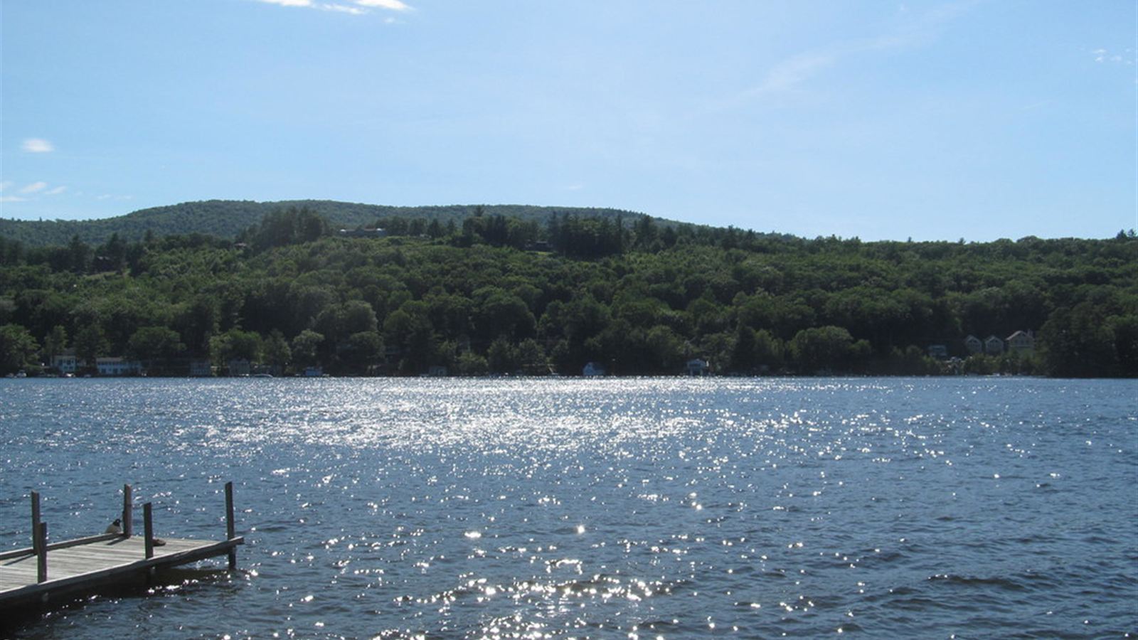
Within 250 feet of New Hampshire's protected waters — Winnipesaukee, Squam, Newfound, Winnisquam, and other public waterbodies — vegetation management is regulated under the Shoreland Water Quality Protection Act (RSA 483-B), with specific limits inside the waterfront buffer.
What that means for your project: at the site walk we identify whether any part of the work area falls inside a regulated zone, and the flagged boundary respects it. Where a permit or an engineered plan is required, that stays outside our scope — and we say so before quoting, not after mobilizing. A company that treats the shoreline rules as an obstacle course is a company to keep off your waterfront.
Your Town Is On The List
Tell us about the property
Three minutes on the form, a real phone call, and a walked site visit with one fixed project price in writing.
Start Your Project Based in Plymouth · Mobilizing across the Lakes Region & White Mountain corridor